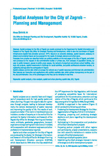
Spatial analyses for the City of Zagreb are mostly produced by the Department for Spatial Information and Research of the Zagreb City Office for Strategic Planning and Development, which is also the coordinator of Zagreb Infrastructure Spatial Data (Croatian acronym: ZIPP). Based on an extensive database, spatial research, analyses, indicators and analytical bases can be accessed for the needs of strategic planners and other users. Examples from practice are described which are publicly available on the web pages of the City of Zagreb, and which were produced at the request of city administrative bodies or private use, from analyses of population density, access to public transport, access to public green spaces, the network of preschool and primary school facilities, strategic city projects, capital investments in buildings for social activities, and public architecture-urbanism tenders, to registering damage after the earthquakes in Zagreb. Spatial analyses provide data which encourage the rational use of spatial resources and informed city administration. New features are interactive web applications with publicly available data which achieve transparency on the part of the city administration. One of the advantages is that they can be refreshed in real time.; Prostorne analize za Grad Zagreb velikim dijelom izrađuje Odjel za prostorne informacije i istraživanja Gradskog ureda za strategijsko planiranje i razvoj Grada, koji je ujedno koordinator Zagrebačke infrastrukture prostornih podataka. Temeljem bogate baze podataka izrađuju se prostorna istraživanja, analize, pokazatelji i analitičke podloge za potrebe strategijskog planiranja te druge potrebe i korisnike. Opisani su primjeri iz prakse koji su javno dostupni na web stranicama Grada Zagreba, a izrađeni su na zahtjeve gradskih upravnih tijela ili za vlastite potrebe - od analize gustoće stanovništva, dostupnosti javnog prijevoza, dostupnosti javnih zelenih površina, mreže dječjih vrtića i osnovnih škola, strateških gradskih projekata, kapitalnih ulaganja u objekte za društvene djelatnosti, javnih arhitektonsko-urbanističkih natječaja do prijave šteta nakon potresa u Zagrebu. Prostorne analize daju podatke kojima se potiče racionalno korištenje prostornih resursa i pametno upravljanje gradom. Novost su interaktivne web aplikacije s javno dostupnim podatcima kojima se postiže transparentnost gradske uprave, a njihova je prednost osvježavanje podataka u stvarnom vremenu.
Sažetak

 Kartografija i geoinformacije : časopis Hrvatskoga kartografskog društva = journal of the Croatian Geographic Society : 19,33(2020) / glavna i odgovorna urednica Ana Kuveždić Divjak.