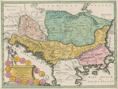
Carte ancienne et moderne des differents etats et pais situez au long du Danube : pour servir a l'intelligence de l'histoire / [Henri Abraham Châtelain].
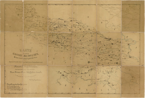
Karte der slavonischen Drau Donau Ebene : mit dem Canalisations Projekte des Vuka und der Darstellung einer möglichen Canalisirung des Karašica-Fluss Gebiethes / Gezeichnet und Bearbeitet Joh. Nep. Spanbauer
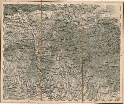
![[Osmanska Europa].](edb6zs2a/repd/g/77/vlt/g77vltlmk7eg.jpg)
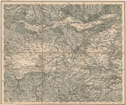
![[Osmanlijsko Carstvo u Europi].](edb6zs2a/repd/r/9a/jmc/r9ajmcd1v5ar.jpg)
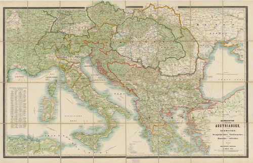
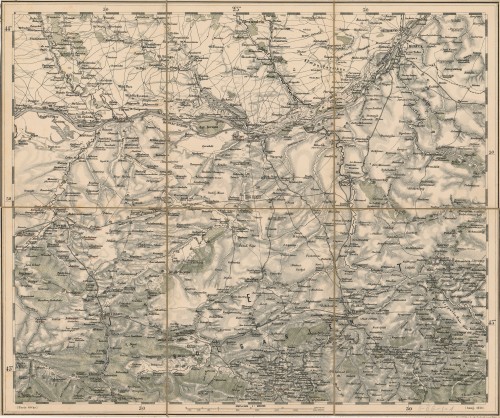
![[Austro-Ugarska Monarhija].](edb6zs2a/repd/g/77/vlt/g77vltlmkneg.jpg)
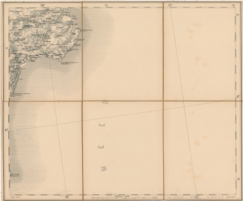
![Origine del Danubio. Dardanel d'Natolia / [Alphonsi Lasor à Varea].](edb6zs2a/rep/4/rj/me9/4rjme9hn5kkg.jpg)
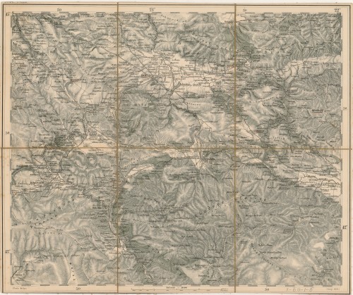
![Carte ancienne et moderne des differents etats et pais situez au long du Danube : pour servir a l'intelligence de l'histoire / [Henri Abraham Châtelain].](edb6zs2a/rep/d/g1/1mv/dg11mvubpd7g.jpg)
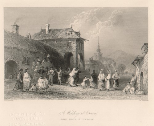
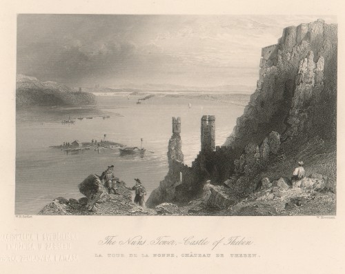
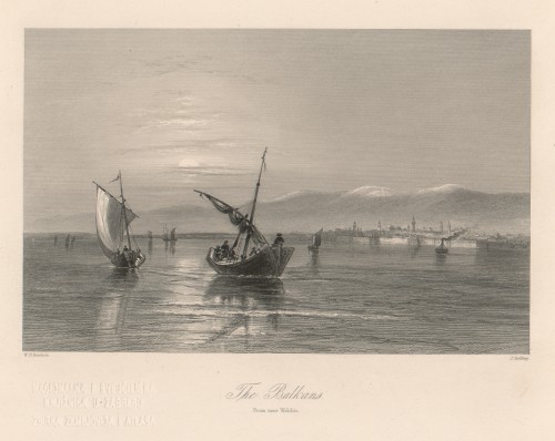
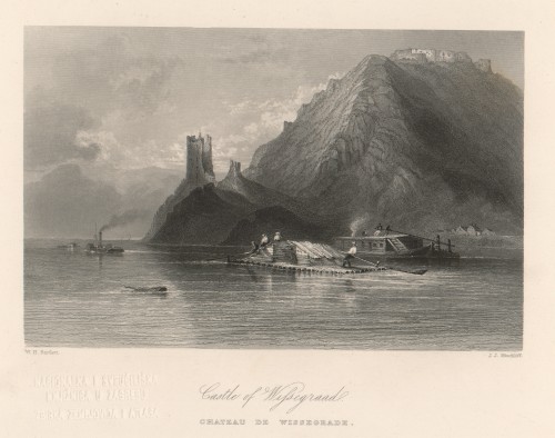
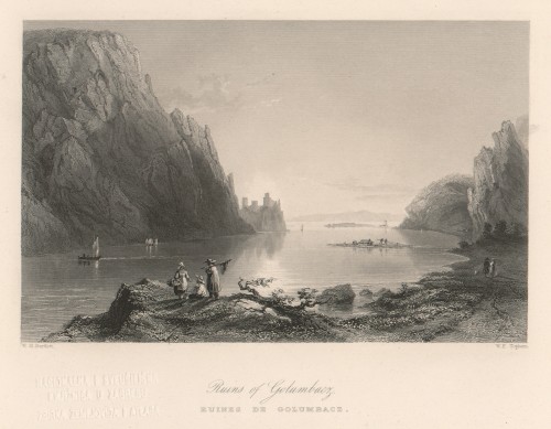
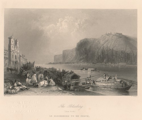
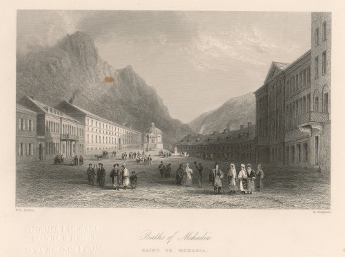
![[The Danube : it's history, scenery, and topography / by William Beattie ; drawn by W. H. Bartlett].](edb6zs2a/rep/m/gk/me6/mgkme6hbv7og.jpg)

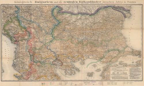
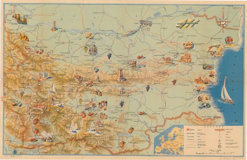
![[Topografska karta Bugarske].](edb6zs2a/rep/d/r9/ajm/dr9ajmc8vdlr.jpg)