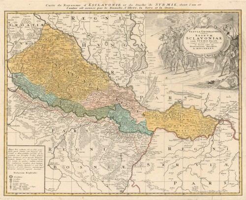
Tabula geographica nova et exacta distincte exhibens regnum Slavoniae, cum Syrmii ducatu : quod a fluviis Savi, Illovae, Dravi et Danubii alliitur eisu provintiae conterminae sunt regnum Hungariae, Croatiae, Bosniae, Serviae i Bannatus Temesirensis / Josephus Gadea delineavit ; iuxta recentissimam observationem Ludovici Andreae Khevenhiller.
Special Karte von dem Oesterreichischen u. Osmanischen Koenigreiche Kroatien : Nro 2 / [nach und zu Anton Friedrich Büschings grosser Erdbeschreibung in drei Theilen ; hrsg. von Franz Johann Joseph von Reilly ; gestochen Ignaz Albrecht].
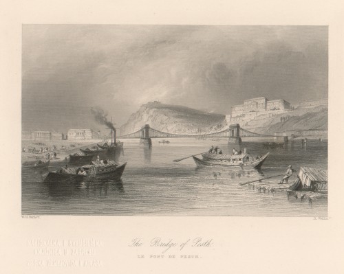
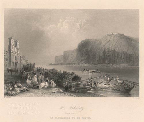
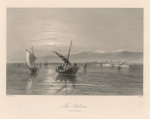
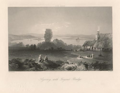
![[The Danube : it's history, scenery, and topography / by William Beattie ; drawn by W. H. Bartlett].](edb6zs2a/rep/m/gk/me6/mgkme6hbv7og.jpg)

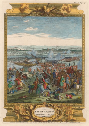
![The Battle of Piterwaradin : August the 5[th] 1716. / Antoine Benoist ; Cl. Du Bosc fecit.](edb6zs2a/rep/m/rp/a21/mrpa21c5bl3g.jpg)
![Tafel der Stätte und Herschafften Zara und Sebenico in Dalmatia gelegen... / [Matthaeus Merian].](edb6zs2a/rep/j/gn/75k/jgn75ktj87pr.jpg)
![Tabula V. Europae in qua Raetia, Pannonia, Noricum, Liburnia, Dalmatia, cum Italiae parte / [Gerhard Mercator].](edb6zs2a/rep/2/gm/mo4/2gmmo4h5mn1g.jpg)
![Tabula itineraria : ex illustri Peutingerorum Bibliotheca / Marci Velseri ; [Konrad Peutinger].](edb6zs2a/rep/o/r8/dzm/or8dzmi6lobr.jpg)
![Syrmien : Markt Vukovar / [Adolph Friedrich] Kunike ; [prema Ludwigu Erminyju].](edb6zs2a/rep/1/r3/7a9/1r37a9t18zlr.jpg)

![Statt Ragusa... Cataro / [Matthaeus Merian].](edb6zs2a/rep/6/g7/7vl/6g77vltodm7g.jpg)
![Special Karte von dem Oesterreichischen u. Osmanischen Koenigreiche Kroatien : Nro 2 / [nach und zu Anton Friedrich Büschings grosser Erdbeschreibung in drei Theilen ; hrsg. von Franz Johann Joseph von Reilly ; gestochen Ignaz Albrecht].](edb6zs2a/rep/4/rj/me9/4rjme9hn6p2g.jpg)
![Spalato / [Jean Joseph Allezard].](edb6zs2a/rep/v/r6/76m/vr676mtp7b4g.jpg)
![Slavonia Croatia Bosnia, Dalmat.[ia] / [Gerardus Mercator].](edb6zs2a/rep/1/r3/7a9/1r37a9tzebpr.jpg)